FieldReveal software
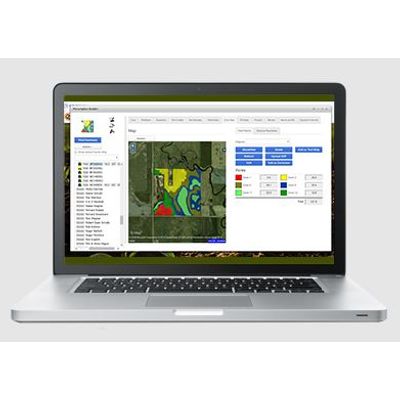
Work Smart With FieldReveal™ Tools
Agronomists can easily and efficiently create seeding and crop nutrition prescriptions with the tools in our intuitive, cloud-based platform.
Application Programming Interface (API)
An Application Programming Interface (API) is the mechanism that allows hardware and software from different manufacturers, or on different platforms, to communicate and share information. Through API connectivity, the FieldReveal platform can integrate valuable crop and field data and information from the following hardware, software and service providers.

Mapping Center Software
Our Mapping Center team of GIS and data management experts use state-of-the-art software to integrate data and provide support to agronomists who use FieldReveal Tools. This team can manage and edit field borders and integrate map data from multiple sources, including grid soil samples, zone maps, harvest maps, field elevation data, satellite imagery and more. Everything is reviewed by an on-staff agronomist, and the results are zone maps that paint a complete picture of every field. Supported by our Mapping Center team, agronomists have experts available to help develop localized field and production management plans in a fraction of the time required to generate the same output with other systems.
Zone Management

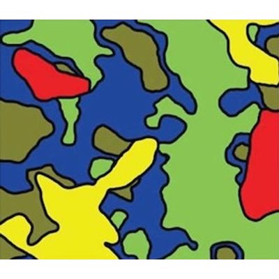
MZB - Zone Map
Fields zoned using our patented MZB Zone process are zoned with up to 12 management zones. Layers used during this zoning process can include the soil properties being collected using electrical conductivity (EC) or Electromagnetic (EM) collection devices, RTK elevation and a yield potential layer by looking at collected yield or historical GNDVI Imagery.