

- Home
- Companies
- Palm Robotics
- Services
Palm Robotics services
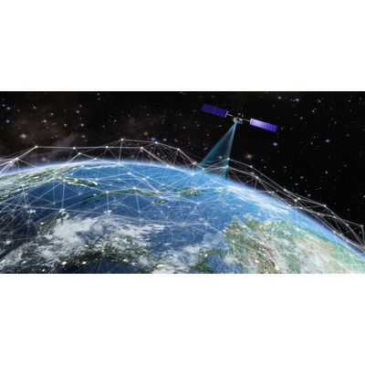
Satellite Images Services
The utilization of satellite images and their subsequent analysis plays a pivotal role in providing valuable insights across multiple domains, leading to significant advancements in our daily lives. By harnessing satellite imagery, we can predict and anticipate various phenomena, such as weather patterns, environmental changes, and natural disasters, enabling proactive measures and effective planning. By continuously observing the Earth’s surface, satellite images allow us to monitor various parameters such as land use, vegetation health, water bodies, and urban development. This monitoring helps in understanding trends, identifying anomalies, and evaluating the impact of human activities on the environment.
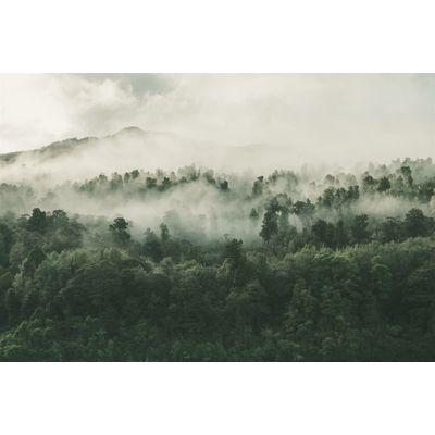
Monitoring and Management of Forests, Vegetation, Valleys, and Public Parks, Fires and Natural Disasters Services
Integrating satellite images, remote sensing technologies, AI, and machine learning algorithms to enable effective monitoring and management of diverse ecosystems and natural phenomena. By combining satellite images, remote sensing, AI, and machine learning, the monitoring and management of forests, vegetation, streams, public parks, fires, and natural disasters become more efficient and proactive. These technologies enable timely interventions, sustainable resource management, and the protection of ecosystems, ultimately contributing to the preservation of biodiversity and the mitigation of environmental risks.
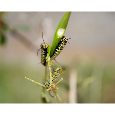
Early Detection of Agricultural Pests and Diseases Services
Harnessing the power of remote sensing technologies, combined with AI, machine learning, and deep learning techniques, to enable early detection and proactive management of agricultural pests and diseases. Remote sensing provides a comprehensive view of agricultural fields, capturing data on vegetation indices, temperature variations, and spectral signatures. This data serves as a basis for detecting anomalies and potential pest or disease outbreaks. AI, machine learning, and deep learning algorithms analyze the remote sensing data, identifying patterns and correlations between environmental factors and pest/disease occurrences. By learning from historical data and continuously updating models, these tools improve accuracy and enable early detection.
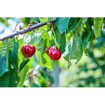
Monitoring and Management of Fruit Trees Services
The integration of satellite and drone images with remote sensing techniques facilitates efficient monitoring and management of fruit trees, providing significant benefits to farmers. Satellite and drone images offer a comprehensive view of fruit tree orchards, capturing valuable data on vegetation health, growth patterns, and environmental conditions. These images allow farmers to assess the overall condition of their trees, detect early signs of stress or disease, and identify areas that require attention.