

Riverside Technology, inc. software
Earth Observations and Satellite Systems
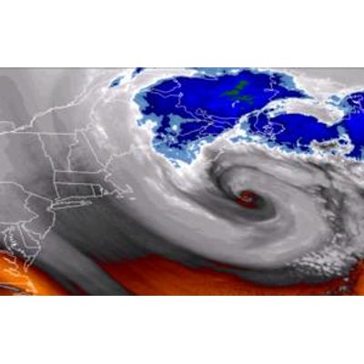
Riverside - Earth Observations and Satellite Systems
Riverside offers technical support and engineering services that assist agency satellite development programs and utilize remotely sensed Earth observations.
Atmospheric and Hydrologic Sciences
Riverside - Space and Earth Science Decision Support Systems
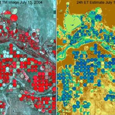
Under a NASA Research Opportunities in Space and Earth Science Grant, Riverside led an effort using remote sensing data to estimate actual evapotranspiration (ET) on a monthly and seasonal basis within two irrigated agricultural areas. Using the University of Idaho’s Mapping Evapotranspiration at high Resolution using Internalized Calibration (METRIC) algorithm, the Riverside team mapped crop ET in the South Platte River basin in Colorado and in the Middle Rio Grande River basin in New Mexico.
Riverside - National Weather Service (NWS) Community Hydrologic Prediction System (CHPS)
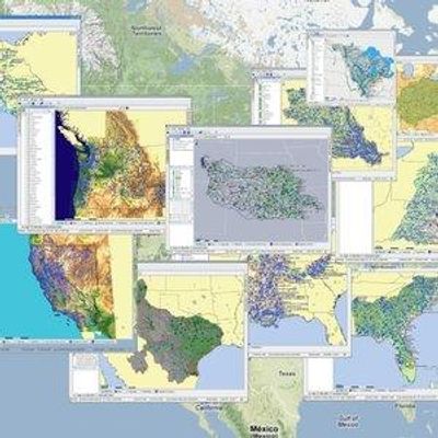
Web mapping and Web GIS are revolutionizing how users access GIS data and functionality, providing capabilities for more informed decision-making. Riverside uses, esri, Google Maps and Google Earth to visualize a variety of data and model results. Riverside provides its clients with high-quality websites embedded with custom Google Maps, and produces KML files of much of its project results and deliverables for use in Google Earth. Riverside gives clients on-line access to high-end GIS and mapping services via the Internet. Custom-designed, browser-based applications feature intuitive, easy-to-use interface and visually appealing display.
Climate Risk
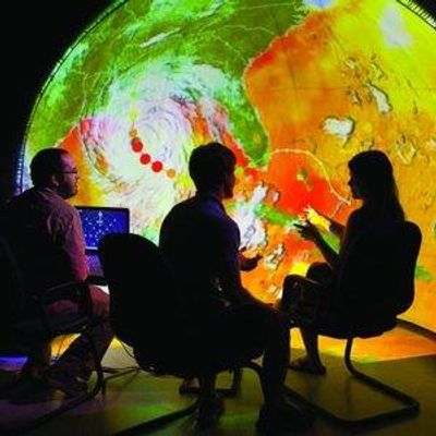
Riverside - Climate Data Tool
Riverside was awarded Phase I and Phase II of a Small Business Innovation Research (SBIR) grant through the National Oceanic and Atmospheric Administration (NOAA) for a data integration and visualization tool that will enable communities to assess climate-related risks, visualize impacts and potential adaptation measures, and communicate real-time information at a neighborhood scale.