


- Home
- Companies
- SoftWright LLC
- Software
SoftWright LLC software
TAP Modules - Additional Visualization and Analysis Modules
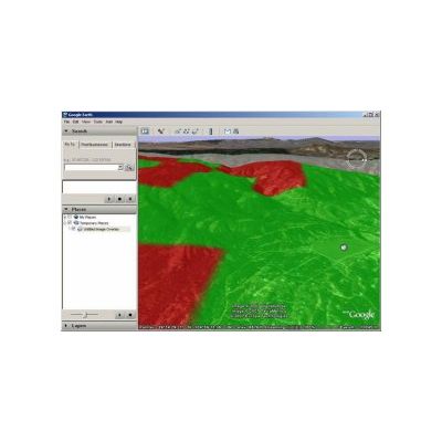
SoftWright - 3D Display Module
Turn your engineering design excellence into powerful presentations. Real world coverage is shown in the real world. Your radio coverage area is not flat. Better visualize your radio coverage challenges. You know where you have coverage problems. Show others why. Intuitively communicate how terrain helps or hurts your coverage area. Help your customers visualize real coverage problems. Show zoning boards why a particular transmitter site is superior or inferior to others. Show your advertisers how well you really cover the market.
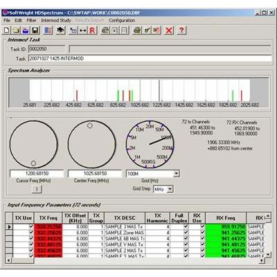
SoftWright - Intermodulation Products Module
The Intermodulation Products module is used to compute intermodulation products as a function of frequencies and other transmitter and receiver specs entered manually or imported from a database. After executing the study, the intermod report generator filters and sorts results in order to isolate intermod problems that are likely to occur.
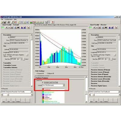
SoftWright - Land Use Module
The Land Use module imports USGS National Land Cover Database (NLCD) files and Global Land Cover (GLC) files and uses them in the radio coverage predictions and link analyses. Loss values may be defined for any frequency ranges for each specified type of land use to permit the inclusion of localized environmental conditions in predicted system performance. Recommended loss values are readily available. The USGS NLCD files categorize land use attributes, such as Urban, Agricultural, Forest, etc. When the files are imported into the TAP format, TAPcan determine the classification at a given set of coordinates.