
Refine by
Halltech 3d Terrain Modeling Software
1 software items found
Manufactured by:Halltech Environmental and Aquatic Research Inc. based inGuelph, ONTARIO (CANADA)
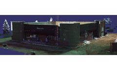
VisionLidar allows you to automatically classify points in scanned images from LiDAR X300 Laser Scanner according to buildings, vegetation and natural terrain. It filters and segments point clouds to 128 configurable layers as simply as with a CAD. It is possible to work VisionLiDAR processed points directly into CAD 2D or 3D ...