
Refine by
Terramath Geological Data Software
3 software items found
by:TerraMath based inBali, INDONESIA
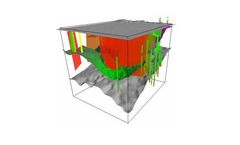
This is the next logical step after gathering all geological / geophysical data. Modeling and interpolation means that we put the data in relation to each other. Geological systems are extreme complex and at the same time well hidden underground. Our goal is to provide functions to create as realistic models as possible. ...
by:TerraMath based inBali, INDONESIA
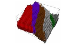
Developed in collaboration with the Austrian oil company OMV. 4D Geothermal Simulation (WinGeol based): Uses the 3D models calculated and constructed with WinGeol (see above; input geological field data, well data, interpreted seismic or geological sections). Placing of wells for extraction or injection possible. This tool is ...
by:TerraMath based inBali, INDONESIA
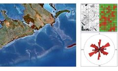
Geographic Information Systems (GIS) are always 3D and 4D for us - as the earth is a 3D body moving through time (4D). Our interest is to deduct 3D geological information from remote sensing images and digital elevation data (DEM) and combine them with other datasets like outcrop data, well logs, geological profiles, seismic, ...