


FarmingIT
Farmingit - Version Farm Map -Mapping Software for Rapid and Precise Data Collection
FromFarmingIT
Accurate paddock area. Croppable area vs fenced area. Paddock features: water troughs, gates, trees, poles.
Most popular related searches
water flow modeling
mapping software
drainage design
flow modeling
water gate
hydrology watershed
water modeling
GNSS
watershed map
spillway
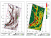
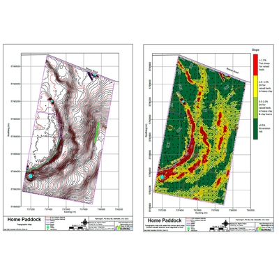
Topographic
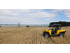
- Data collected with survey grade GNSS equipment (GPS & GLONAS)
- Levels of culverts and spillways recorded to aid drainage design
Interpretation
- Hydrology maps
- Watershed calculations
- Slope and aspect modelling
- Natural stream and water flow modelling