
- Home
- Applications
- canada
- flood risk mapping
Show results for
Refine by
Flood Risk Mapping Product Applications In Canada
1 applications found
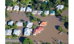
Dynamically model natural channels in rural and urban watersheds, taking into account flooded structures, backwater effects, spatially-distributed and dynamic rainfalls, groundwater interflow and flood inundation. Computed results can be animated in two-dimensions and projected obliquely in Google ...
ByComputational Hydraulics International (CHI) based in Guelph, ONTARIO (CANADA)