
field-data-acquisition Downloads
44 downloads found
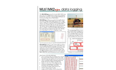
The ML61MK2xpn system for Geonics EM61-MK2 array (one or two row configurations) consists of two programs: the field data acquisition component ML61MK2xpn and the data processing software Multi61MK2.ML61MK2xpn will increase productivity significantly in areas where multiple EM61-MK2 systems can be config-ured as a single array. ...
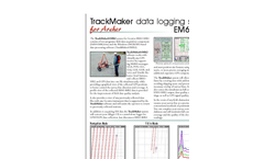
The TrackMaker61MK2 system for Geonics EM61-MK2 consists of two programs: field data acquisition component (NAV61MK2wm) and the Windows (98/2K/XP) based data processing software (TrackMaker61MK2).TrackMaker61MK2 software works with virtually any GPS receiver by support-ing NMEA messages: GGA, POS, GLL, LLQ, LLK, GGK, and Leica ...
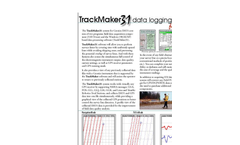
TrackMaker data logging systemThe TrackMaker31 system for Geonics EM31 con-sists of two programs: field data acquisition compo-nent (NAV31wm) and the Windows (98/2K/XP) based data processing software (TrackMaker31).TrackMaker31 software will allow you to perform surveys faster by covering sites with uniformly ...
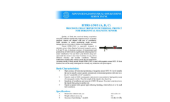
HTRI-1/50/1 (A, B, C) PRECISION FIELD TRIPOD WITH THERMAL PROTECTION FOR HORIZONTAL MAGNETIC SENSOR Quality of field data received during acquisition using MT methods significantly depends on how accurately magnetic sensors are aligned with axis of coordinates. Small mistakes in sensor positioning might severely damage ...
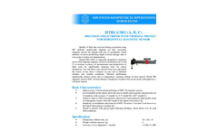
HTRI-1/30/1 (A, B, C) PRECISION FIELD TRIPOD WITH THERMAL PROTECTION FOR HORIZONTAL MAGNETIC SENSOR Quality of field data received during acquisition using MT methods significantly depends on how accurately magnetic sensors are aligned with axis of coordinates. Small mistakes in sensor positioning might severely damage ...
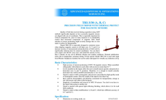
ADVANCED GEOPHYSICAL OPERATIONS AND SERVICES INC. TRI-3/30 (A, B, C) PRECISION FIELD TRIPOD WITH THERMAL PROTECTION FOR MAGNETIC SENSORS Quality of field data received during acquisition using AMT methods significantly depends on how accurately magnetic sensors are aligned with axis of coordinates. This is especially ...
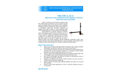
ADVANCED GEOPHYSICAL OPERATIONS AND SERVICES INC. TRI-3/50 (A, B, C) PRECISION FIELD TRIPOD WITH THERMAL PROTECTION FOR MAGNETIC SENSORS Quality of field data received during acquisition using MT methods significantly depends on how accurately magnetic sensors are aligned with axis of coordinates. This is especially important ...

ADVANCED GEOPHYSICAL OPERATIONS AND SERVICES INC. TRI-1/50 (A, B, C) PRECISION FIELD TRIPOD WITH THERMAL PROTECTION FOR VERTICAL MAGNETIC SENSOR Quality of field data received during acquisition using MT methods significantly depends on how accurately magnetic sensors are aligned with axis of coordinates. This is ...

ADVANCED GEOPHYSICAL OPERATIONS AND SERVICES INC. TRI-1/30 (A, B, C) PRECISION FIELD TRIPOD WITH THERMAL PROTECTION FOR VERTICAL MAGNETIC SENSOR Quality of field data received during acquisition using AMT methods significantly depends on how accurately magnetic sensors are aligned with axis of coordinates. This is ...
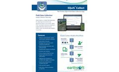
EQuIS Collect is EarthSoft’s supported field module in EQuIS workflow and integrates with multiple other EQuIS applications. EQuIS Collect Enterprise dashboards help manage projects and field crews, build and publish Collect Form Templates, and review sampling-activity analytics. Collect Forms are populated with field data in the Collect Mobile app and uploaded to EQuIS with the Enterprise ...

The Mesa 3 Rugged Tablet running Android 11 offers powerful new functionality while retaining impressive features from the popular Mesa 2 Rugged Tablet. Its Octa-core Snapdragon processor by Qualcomm is ready to run even the most demanding field data collection application, and its rugged ergonomic design is ready to handle a long day on the job in some of the harshest environments out there. ...

U L T R A - R U G G E D F I E L D P CRUGGEDINTUITIVEVERSATILEThe Archer is your reliable field companion. Use it to document, navigate, and share information. ...
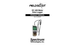
Thank you for purchasing the data logging EC 450 meter from Spectrum Technologies, Inc. This user’s guide deals with the features that are unique to the data logging EC 450 meter. Information on general meter operation is contained in the accompanying Instruction manual. The integrated data logger allows the user to easily collect field data with the EC 450 meter. The logger can be used ...

Accomplish more and grow your business: Efficient sub-surface imaging - Acquiring data with Raptor is efficient as less time is spent in the field collecting data, which means you have more time to process. However, Condor offers further efficiencies that reduce the time spent on processing. Consequently, projects can be completed more quickly, which means you can take on more ...
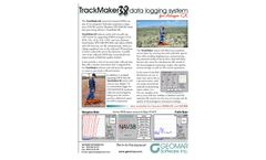
The TrackMaker38 system for Geonics EM38 consists of two programs: field data acquisition component (NAV38) and the Windows (XP/2000/98) based data processing software (TrackMaker38). TrackMaker38 software works with virtually any GPS receiver by supporting NMEA messages: GGA, POS, GLL, LLQ, LLK, GGK, and Leica Robotics Total Station TPS1100/TPS1200, and collects EM38 and GPS data into one file ...

MapSmart field data collection software is designed for anyone who needs to quickly and accurately map, measure, or position anything. It's a simple yet powerful program that easily integrates with LTI laser devices and mapping accessories to turn a laser into a complete total station ...
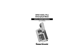
Thank you for purchasing the data logging SPAD 502Plus Chlorophyll meter from Spectrum Technologies, Inc. This operation manual deals with the features that are unique to the internal data logger. Information on general meter operation is contain in the accompanying Instruction manual. The integrated data logger allows the user to easily collect field data with the SPAD chlorophyll meter. The ...
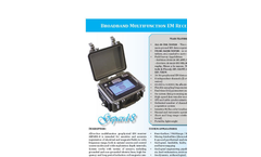
All-in-One multifunction geophysical EM receiver GEPARD-8 is intended for sensitive and accurate registration of electrical and magnetic fields in wide frequency range, both in natural source and control source modes and wide exploration depth intervals. System works with variety of sensors, including grounded and non-grounded electric lines, high frequency and long period induction coil magnetic ...
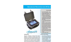
All-in-One multifunction geophysical EM receiver GEPARD-4 is intended for sensitive and accurate registration of electrical and magnetic fields in wide frequency range, both in natural source and control source modes and wide exploration depth intervals. System works with variety of sensors, including grounded and non-grounded electric lines, high frequency and long period induction coil magnetic ...