
Show results for
Refine by
Geophysics System Services In Canada
10 services found
Manufactured by:Advanced Geophysical Operations and Services Inc. (AGCOS) based inNorth York, ONTARIO (CANADA)
Geophysical Equipment and Instruments Sales, Software Sales, Equipment Repair, Equipment Troubleshooting, Equipment testing, Equipment calibration, Training, Field surveys, Data processing, Data interpretation, Geophysical Consulting. ...
by:Earth Scan Technologies Ltd. based in, ALBERTA (CANADA)
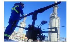
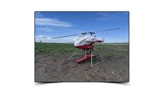
Visual inspection completed by UAVs make inspection efficient, less costly, and extremely safe. With an extensive list of inspection tools on both external and internal flying UAVs, we can complete any job ...
Manufactured by:Nuvia Dynamics Inc based inToronto, ONTARIO (CANADA)
Airborne geophysical surveying for minerals exploration may be conducted using either fixed-wing airplanes or helicopters, on shore or off-shore. The choice of aircraft depends largely on project size, location, budget and ...
by:Earth Scan Technologies Ltd. based in, ALBERTA (CANADA)
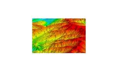
LiDAR is a very effective tool for creating 3D representations of a target area, including underground in confined areas such as old mine shafts. Earth Scan has partners with the leading technologies and can be deployed by UAV or fixed wing ...

by:Quantec Geoscience Ltd. based inToronto, ONTARIO (CANADA)
Traditional Mineral Exploration Techniques Are Unreliable When Trying To Extend Mine Life. Extreme cultural noise ‘in the shadow of the headframe’ includes: power lines, haul roads, and active pits. Traditional geophysical tools are less accurate amongst such interference. But the unique data acquisition techniques of Orion 3D, Titan 24 and Spartan MT provide more reliable, accurate ...
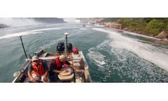
by:ASI Group Ltd. based inHamilton, ONTARIO (CANADA)
ASI’s hydrographic mapping services provide clients with a thorough underwater investigation of the conditions of rivers, estuaries, channels, lakes, harbour bottom surfaces and submerged infrastructure. A combination of geophysical mapping equipment and the latest charting technology enables us to locate and assess any submerged surface features and targets addressed by our clients. The ...
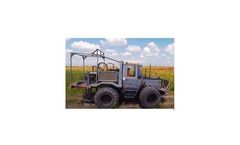
by:Earth Scan Technologies Ltd. based in, ALBERTA (CANADA)
Seismic is the most effective geophysical tool for deep investigation of the subsurface. 2D or 3D models can be built from measuring reflection waves. Earth Scan has the worlds most powerful surface source - The Explorer ...
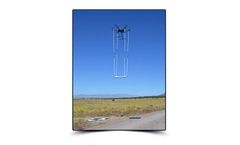
by:Earth Scan Technologies Ltd. based in, ALBERTA (CANADA)
Magnetometer surveys are an extremely high resolution method to identify anomalies in the surface and subsurface. With no ground work required drone magnetometer surveys are extremely low impact and efficient. Very lightweight and ideal for UAV operations. Covering a vast amount of area in virtually any terrain profile, UAV magnetometer surveys also offer low altitude flying which permits very ...
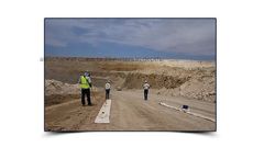
by:Earth Scan Technologies Ltd. based in, ALBERTA (CANADA)
LOZA is unlike any other GPR technology and offers unique, high-resolution imaging of the subsurface. Exceptional depth penetration of over 200 meters! Excellent resolution of mineralization, fractures, faults, karst, tunnels, leaks in dams and tailings ponds. Excellent for defining high quality mineralization with demonstrated success on mining projects globally. Efficient data collection with ...
by:Earth Scan Technologies Ltd. based in, ALBERTA (CANADA)
Ground penetrating radar (GPR) offers safe and comprehensive scanning for a wide range of applications and is is arguably Earth Scan's most versatile tool. This powerful, yet non-destructive, tool is perfect for many jobs including; identifying and locating geologic structures, locating abandoned infrastructure such as pipelines or landfills, mapping bedrock profiles on future highway ...