
- Home
- Software
- canada alberta
- hydrographic data
Refine by
Hydrographic Data Software Available In Alberta
11 software items found
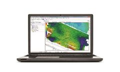
by:HYPACK, A Xylem Brand based inMiddletown, CONNECTICUT (USA)
HYPACK® MAX: Our standard package. It has everything you need to design your survey, collect and process your single beam data, and generate final products such as contours, plotting sheets, output for CAD, fly-through views, cross sections, and volumes calculations. The side scan sonar, subbottom, ADCP, and magnetometer collection and processing modules are standard features of HYPACK® ...
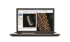
by:HYPACK, A Xylem Brand based inMiddletown, CONNECTICUT (USA)
HYPACK® LITE: This is our single beam package designed for users who will perform their final product work in a CAD-GIS package. It contains all of the programs necessary to design your survey and collect the data, then process and export it to DXF/DGN for import into your CADGIS ...
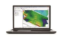
Manufactured by:Hélicéo based inNANTES, FRANCE
HYPACK is the most widely used hydrographic software in the world with nearly 10,000 users on 7 continents. It is currently the only one to offer lateral collection, mosaicing and targeting. With this intuitive and powerful tool, you can design your survey, collect hydrographic data, process and generate end products such as contours, tracking ...

by:SierraSoft S.r.l. based inPordenone, ITALY
SierraSoft Land is a BIM software for land 3D modeling and analysis. With SierraSoft Land, you can handle land survey of any size carried out with various types of tools, such as total stations, GPS, laser scanners or drones. The BIM functions of SierraSoft Land allow you to produce, modify, share, and analyze topographic information models. Restitution and information modeling occur ...
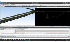
by:SierraSoft S.r.l. based inPordenone, ITALY
SierraSoft Roads is a BIM software for the design of roads and highways. The BIM functions of SierraSoft Roads allow you to produce, modify, share, and analyze road information models. Design and information modeling occur simultaneously with a strong optimization of activities and cost ...

by:EE Modeling System based inEdmonds, WASHINGTON (USA)
Better Assessment Science Integrating point and Nonpoint Sources (BASINS) is a multipurpose environmental analysis system and has been made freely available by its developer, the US EPA. BASINS provides a convenient framework for integrating modeling tools and environmental spatial and tabular data into a geographic information system (GIS) interface. From the BASINS interface, you can ...

by:SierraSoft S.r.l. based inPordenone, ITALY
SierraSoft Rails is a BIM software for the design of railways for low and high speed, single and double track. The BIM functions of SierraSoft Rails allow you to produce, modify, share, and analyze railway information models. Design and information modeling occur simultaneously with a strong optimization of activities and cost containment. In one product you have all the tools for design, ...
by:Esri based inRedlands, CALIFORNIA (USA)
ArcGIS for Maritime is part of the ArcGIS system to solve problems and gain efficiencies for ocean, marine, hydrographic, and related business. It enables organizations to manage data, products, services, workflows, and quality. The system enables efficiency for interacting with large volumes of maritime related information, products, and integrated workflows to ...

by:Eye4Software B.V. based inWolvega, NETHERLANDS
Eye4Software Hydromagic is a professional hydrographic survey package, which can be used to map depth areas using an echo sounder and GNSS receiver. The software is very affordable and the learning curve is very short. You can start creating your first sounding within a single day. Our website contains a lot of free training material so you will be able to learn the software without expensive ...
by:Eye4Software B.V. based inWolvega, NETHERLANDS
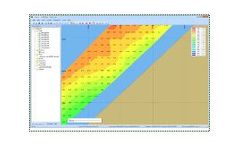
Eye4Software Hydromagic is a professional hydrographic survey package, which can be used to map depth areas using an echo sounder and GNSS receiver. The software is very affordable and the learning curve is very short. You can start creating your first sounding within a single day. Our website contains a lot of free training material so you will be able to learn the software without expensive ...
by:SierraSoft S.r.l. based inPordenone, ITALY
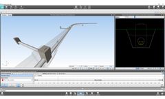
SierraSoft Hydro is a BIM software for hydraulic design of waterways, canals, ditches, pipes, pipe networks and manholes The BIM functions of SierraSoft Hydro allow you to produce, modify, share, and analyze hydraulic information models. Design and information modeling occur simultaneously with a strong optimization of activities and cost containment. In one product you have all the tools for ...