
Refine by
Hydrological Information Software
6 software items found

by:Montel based inOslo, NORWAY
It also offers tools for intraday and day-ahead power prices, and includes extensive datasets like REMIT data and hydrology information. Montel Analytics features advanced AI-driven forecasting capabilities for production and demand, supporting decisions on power plant siting and capacity expansions. The platform's data integration is engineered to blend ...
by:SierraSoft S.r.l. based inPordenone, ITALY
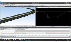
SierraSoft Roads is a BIM software for the design of roads and highways. The BIM functions of SierraSoft Roads allow you to produce, modify, share, and analyze road information models. Design and information modeling occur simultaneously with a strong optimization of activities and cost ...

by:SierraSoft S.r.l. based inPordenone, ITALY
SierraSoft Land is a BIM software for land 3D modeling and analysis. With SierraSoft Land, you can handle land survey of any size carried out with various types of tools, such as total stations, GPS, laser scanners or drones. The BIM functions of SierraSoft Land allow you to produce, modify, share, and analyze topographic information models. Restitution and information modeling occur ...

by:SierraSoft S.r.l. based inPordenone, ITALY
SierraSoft Rails is a BIM software for the design of railways for low and high speed, single and double track. The BIM functions of SierraSoft Rails allow you to produce, modify, share, and analyze railway information models. Design and information modeling occur simultaneously with a strong optimization of activities and cost containment. In one product you have all the tools for design, ...
by:SarVision B.V. based in, NETHERLANDS
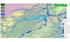
Semi-automated algorithms are used to create consistent time-series of flooding and water extent. With this system flood frequency and duration maps can be made based on a combination of Sentinel-1 and PALSAR-2 radar images. Note that flooding is also mapped under the tree ...
by:SierraSoft S.r.l. based inPordenone, ITALY
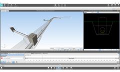
SierraSoft Hydro is a BIM software for hydraulic design of waterways, canals, ditches, pipes, pipe networks and manholes The BIM functions of SierraSoft Hydro allow you to produce, modify, share, and analyze hydraulic information models. Design and information modeling occur simultaneously with a strong optimization of activities and cost containment. In one product you have all the tools for ...