
Refine by
Water Dam Software
5 software items found
by:Rezatec based inDidcot, UNITED KINGDOM
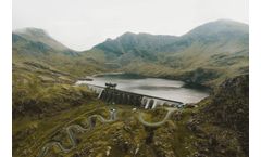
Optimizing inspection deployment – at scale: Downstream Hazard remotely identifies the building changes that matter in your dam inundation zones, across your whole portfolio and your entire state. It gives you accurate insights on developments between inspections, highlights exact risk areas and keeps tabs on low hazard dam urban change. It enables you to deploy your resources efficiently ...
by:Rezatec based inDidcot, UNITED KINGDOM
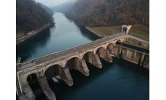
Dam compliance data. Made simple. The power to aggregate, streamline and analyse all your dam data. Reduce the staff burden of reporting and focus resources on what they do best. All dam data. In one place. Dam Compliance aggregates into one place and applies powerful analytics to all your dam data, like ...
by:Rezatec based inDidcot, UNITED KINGDOM
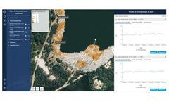
Ground Motion & Seepage is the only product of its kind that remotely provides a detailed historical and current view of structural movement for all your dams – even across inaccessible locations. Its satellite and multiple data feeds fused with advanced analytics deliver the most frequent, accurate insights on unusual changes in ground motion and vegetation change, giving you the ...
by:Rezatec based inDidcot, UNITED KINGDOM
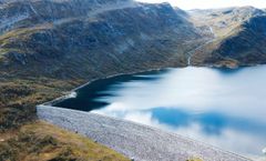
The power to see unusual changes between routine structural surveys. Deploy your investigation and maintenance resources to the right place at the right time. Assess risk. Act fast. Landslide Risk identifies and monitors key landslide indicators and determines the highest risk areas cost-effectively, at scale. It fuses multiple satellite, geospatial and trigger-event data, like weather, seismic ...
by:ITASCA Software based inMinneapolis, MINNESOTA (USA)
FLAC/Slope is a special, streamlined version of FLAC for evaluating the factor of safety (FoS) of soil and rock slopes in two dimensions with simple and fast model setup and analysis execution. FLAC/Slope can simulate stability problems under a wide variety of slope conditions, including: arbitrary slope geometries, multiple layers, pore pressure conditions, heterogeneous soil properties, surface ...