
- Home
- Software
- north america
- mapping camera
Refine by
Mapping Camera Software In North America
5 software items found
by:SingleOps based inAtlanta, GEORGIA (US) (USA)
Mobile Estimating & Digital Proposals: Lightning-fast pricing functionality, Up-sell and cross-sell w/ optional and recommended services, Satellite tree mapping and camera integration w/ unlimited image uploads, Built-in industry best practice compliance (ANSI A300, OSHA JSA, etc.), Digital and on-site signature acceptance, Increase proposal acceptance rate ...
by:Remote GeoSystems, Inc. based inFort Collins, COLORADO (USA)
Cloud-based or on-premise web application server software for mapping, analysis, packaging and reporting using georeferenced videos, photos, documents/files and other sensor data from survey, inspection and surveillance data collection platforms. LineVision Online for is a secure web application for mapping, analyzing, searching and collaboration using geo-referenced video, MISB FMV ...
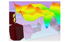
by:PE Mediterranean Acoustics Research & Development Ltd. based inTrimiklini, CYPRUS
OTL Suite is a suite of 3D acoustical software applications integrated in one working environment. It's the first ever acoustical software application which offers such flexibility among calculations in various fields of acoustics, including non-homogeneous meteorological conditions, within the same ...
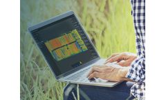
by:Pix4D SA based inPrilly, SWITZERLAND
Remote sensing: Collect images using a drone and any standard RGB or select multispectral cameras. You can also use Satellite Data Import to enhance your mapping experience with Sentinel-2 satellite data. Process: Process imagery with the instant processing engine and get your maps directly in the field: 6.8 GB, 2948 images, 10 min (with the new ...
Manufactured by:Leica Geosystems AG - a Hexagon company based inHeerbrugg, SWITZERLAND
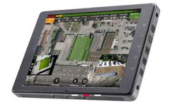
Manage the mission and automatically capture data according to pre-set flight plans. Primary and secondary screen views allow pilots to switch between real-time streaming of two on-board cameras and a map view. Seamlessly pause and resume missions, manage battery life safely and easily switch between camera and video mode so you can focus on ...