
Refine by
Lidar System Articles & Analysis
59 articles found

Figure 1 Air pollution blanketing the city of Taipei at sunset photo by Max Chen, December 2018 Lo Chi and William Hetherington at the Taipei Times recently posted a feature piece about the National Central University of Taiwan (NCU) Micro Pulse Lidar NETwork (MPLNET) stations that have been collecting data continuously and contributing these observations to MPLNET since ...
ByENVEA

AIRSENSE’s main objective is to enhance the understanding of aerosol and aerosol-cloud interactions. This activity is part of Atmosphere Science Cluster of ESA’s EO Science for Society programme, an element of the ESA FutureEO programme, which aims at boosting Europe’s excellence in EO science and its ...
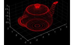
How this happens can be found in this paper [6]. Suppose the LiDAR system is used without satellites in the so-called offline mode. ...
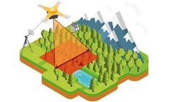
A LiDAR system can calculate the distance to each point from which the light bounced by measuring the return time of each laser pulse. ...
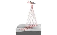
A lidar system measures the time that elapses from when a pulse is emitted until it returns. ...
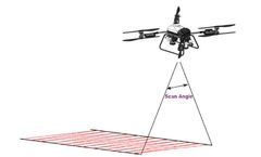
By accurately timing the return of each laser pulse, the LiDAR system calculates the distance to each reflected point. This process uses the time-of-flight (ToF) method, which is based on the constant speed of light. ...
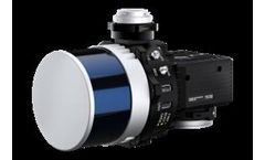
The lidar system records the time elapsed from when the pulse emits until it returns. ...
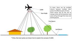
The main components of LiDAR include a laser, scanning system, receiver, and data processing system. ...
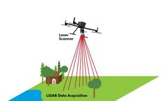
By precisely timing the return of each laser pulse, the LiDAR system can determine the distance to each reflected point. These computations rely on the time-of-flight (ToF) technique, which assumes a constant speed of light. ...
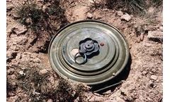
Light is reflected back to the sensor when a LiDAR laser beam hits an object like a tree or building. By timing the exact return of each laser pulse, the LiDAR system can calculate the distance to each reflected point. ...
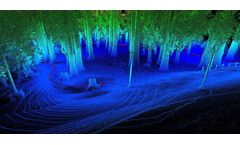
These sections will be discussed: Introduction to LiDAR, Fertilization in Farming, and How can LiDAR help Fertilization. ...
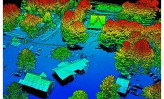
Our RESEPI team developed an INS integrated with LiDAR or imaging systems to facilitate the creation of high-fidelity maps for assessing damage and planning evacuation routes. ...
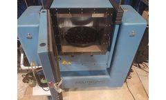
A term that has been ever-evolving in the tech landscape is the term “MEMS: Micro-Electro-Mechanical Systems.” MEMS sensors have revolutionized various industries by enabling precise measurement of physical phenomena compactly and cost-effectively. ...
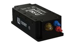
This drift is mitigated in an aided system by integrating external signals from sources such as GNSS, magnetometers, barometers, and visual or LiDAR sensors, which correct and refine the data obtained from the inertial sensors. The hybrid nature of these systems allows for an unparalleled level of accuracy and stability, surpassing what inertial ...

Introduction What is a LiDAR Payload? LiDAR stands for Light Detection and Ranging and has become an increasingly prevalent technology over the past decade. NASA and meteorologists have used LiDAR, now embedded within cell phones with the release of the iPhone 12 Pro. LiDAR is commonly used in surveying, mapping, and inspection applications where it can provide very detailed and accurate ...

Inertial Labs, a pioneer in inertial sensors and systems, is excited to announce the release of the latest PCMasterPro software updates for RESEPI. ...
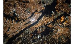
One technology that has revolutionized urban navigation data quality is RESEPI LiDAR, a cutting-edge system that combines LiDAR technology with precise inertial navigation solutions. ...
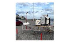
According to the monitoring of the Central Meteorological Observatory, Super Typhoon “Doksuri” made landfall along the coast of Jinjiang, Fujian Province at 9:55 am on July 28. The maximum wind force near the center was level-15 (50m/s), making it the strongest typhoon to make landfall in China this year. It’s the second strongest typhoon to make landfall in Fujian by complete ...

Due to his interest in instrumentation, he moved into LIDAR and remote sensing. He has played a pivotal role in several space LIDAR projects, including designing filtering solutions for EarthCARE, ADM (Aeolus) and Ascope missions.Dr Foster is recognised as a leading UK expert in LIDAR instrumentation and has worked with several research groups, ...
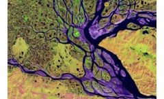
Typically, this can involve a range of geospatial technologies such as satellites, drones, and light detection ranging (LiDAR), combined with Geographical Information System (GIS) software. ...