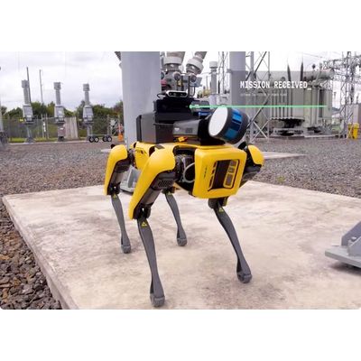
DroneDeploy software
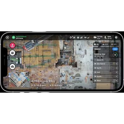
Data Capture Software

AI-Powered Drone Data Processing Software
High Data Accuracy: Recreate reality with best-in-class processing resulting in survey-grade models. Robust Data Output: Upload and process data from a broad array of sensors and formats, including video and radiometric thermal. Scalable Cloud Infrastructure: Generate and process detailed maps, models, and videos without specialized training. AI-Powered Insight: The more you fly, the smarter the engine gets to deliver outputs tailored for your industry.
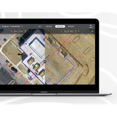
Complete Drone Data Analysis Software
Unify Your Data: Compare different data sets to gather rich insights over time. Collaborate from Anywhere: Connect your team with an interactive, up-to-date visual record of your project. Measure and Report: Measure volume, slope and distance, and generate professional reports at the click of a button. Automate Insights: Insights you need with automatic detection & counting of objects like stockpiles, trees, and cars.
360 Virtual Walkthrough Software