
Refine by
Lidar Mapping System Equipment & Supplies
8 equipment items found
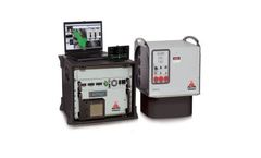
Manufactured by:Teledyne Optech Incorporated based inVaughan, ONTARIO (CANADA)
The Optech Pegasus is a high-performance lidar mapping solution that is designed for maximum collection efficiency, data accuracy and high point density. A multi-laser sensor, Pegasus includes a fully embedded, high-resolution orthometric camera and delivers extremely dense and information-rich datasets. Pegasus provides the highest point density and data accuracy at the lowest cost per square ...
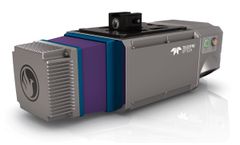
Manufactured by:Phoenix LiDAR Systems based inLos Angeles, CALIFORNIA (USA)
With a measurement precision of <1cm, thePioneer P-360will capture survey grade data for the most demanding application requirements. The complete system, with integrated dual oblique 24MPix cameras, weighs only 4.65kg; making it suitable for most mid-class commercial unmanned aircraft and robust enough for manned heli applications. ThePioneer P-360supports of wide range of operating ...
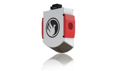
Manufactured by:Phoenix LiDAR Systems based inLos Angeles, CALIFORNIA (USA)
The Pioneer P10's long-range laser sensor highs only 3.8kgs and is a purpose-built, UAV LiDAR mapping system with a high-power 1550nm ...
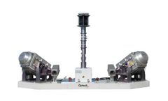
Manufactured by:Teledyne Optech Incorporated based inVaughan, ONTARIO (CANADA)
0860 11 78 The Lynx Mobile Mapper™ SG1 has two 600-kHz sensors for survey-grade precision. It’s the fastest and most efficient mobile lidar mapping system available, with incredible detail and measurement rates of up to 1.2 million measurements per second. Collect engineering survey-grade lidar and image data from a ...
Manufactured by:Leica Geosystems AG - a Hexagon company based inHeerbrugg, SWITZERLAND
Imagine an affordable 500 kHz pulse rate city-mapping LIDAR system capable of meeting your specialized needs now, and for that is easily upgradable to a full-capability configuration as your business grows. Imagine producing high density point clouds for corridor, urban, flood plain or general-purpose airborne mapping in a ...
Manufactured by:GEM Systems, Inc. based inMarkham, ONTARIO (CANADA)
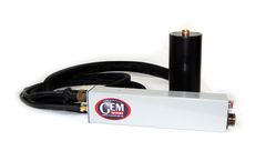
Airborne Magnetometer and EM Solutions. The worldwide application of airborne magnetic and gradiometric data is growing, driven by demand for high-resolution, low cost data to: Map targets, geology and geologic structure in Mineral Exploration and Mineral Prospecting Perform frontier evaluation, augment seismic data in Hydrocarbon Exploration. Detect Unexploded Ordnance (UXO). ap pipelines and ...

Manufactured by:Aevex Aerospace based inSan Diego, CALIFORNIA (USA)
The Geo-ECTO-1 mobile mapper is the industry-leading turnkey mobile mapping solution developed by AEVEX. Tailored to each client’s requirements and available in single and dual-LiDAR configurations, Geo-ECTO-1 is an invaluable technology for organizations tasked with assessment of critical transport infrastructure, including bridge and tunnel inspections, road/highway surveying ...
Manufactured by:Everise Technology Ltd. based inBeijing, CHINA
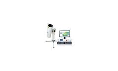
With 532nm laser, EV-Lidar-CAM with 3D scanning function, is mainly used to continuously monitor horizontal and vertical distribution of atmospheric aerosols, to analyze composition and spatial&temporal evolution of aerosols, to monitor the concentration distribution of PM10 and PM2.5 vertically and horizontally, and to monitor weather process of haze, sandstorm and rainfall in real-time. ...