
Refine by
Lidar Mapping System Software
2 software items found
by:Alteia based inLabège, FRANCE
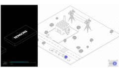
The Æther AI platform offers a comprehensive solution for quickly gathering, organizing, and analyzing visual data across various systems to facilitate smarter decision-making. It stands as a central operating system for visual artificial intelligence, enabling digital monitoring of physical environments and interpreting data through customizable models to generate meaningful insights. The ...
by:Remsoft based inFredericton, NEW BRUNSWICK (CANADA)
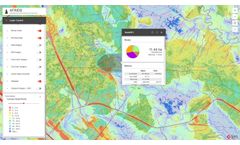
The AFRIDS platform from Remsoft is a comprehensive web-based decision support tool designed for lidar forest inventories. Embedded within the platform is Esri ArcGIS technology, enabling advanced mapping, data analysis, and reporting capabilities that require no specialized GIS expertise. This tool aims at optimizing forest operations by providing features such ...